Geography Overview
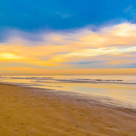
Uruguay is a small country in South America, located between Argentina and Brazil. It has a long coastline along the Atlantic Ocean, which gives it many sandy beaches. Most of Uruguay’s land is made up of rolling plains and low hills, which are great for farming. One downside of the geography is that Uruguay is prone to high winds, droughts, and floods. The country has no tall mountains, but its highest point is Cerro Catedral, which is only about 1,685 feet tall. There are also several important rivers, like the Río de la Plata, which forms part of the border with Argentina, and the Río Uruguay, which helps transport goods and trade. Because of its distance to the equator, Uruguay has warm summers and cool winters, but it never gets too hot or too cold. The country has many grasslands, called pampas, where cows and sheep live, making Uruguay famous for its beef and wool. Even though Uruguay is one of the smallest countries in South America, its geography makes it a great place for farming, fishing, and tourism. Overall, Uruguay’s geography helps make it a peaceful and beautiful country to live in or visit.
Bibliography
“11 Best Beaches in Uruguay | Rough Guides.” Rough Guides, 2024, www.roughguides.com/articles/why-is-uruguay-best-beach-destination-south-america/. Accessed 11 Mar. 2025.
“Uruguay - Wikipedia.” Wikipedia.org, 2024, en.wikipedia.org/wiki/Uruguay. Accessed 11 Mar. 2025.

